The weekend of the 5th and 6th of October I had put aside for a long trip in the R44 to the West coast of Ireland and the Arran islands. However, as the UK was being plagued by the remnants of a hurricane travelling across from the United States getting across the water didn’t seem like such a clever idea.
Instead, the Sunday was looking to be a particularly bright and clear day in the South West of England. I took the opportunity to monopolise on the good met, and head down to Dunkeswell in the R44. Scheduling in a stop at the Helicopter Museum to pick up two old friends before heading on down towards the Quantocks and the Blackdown Hills.
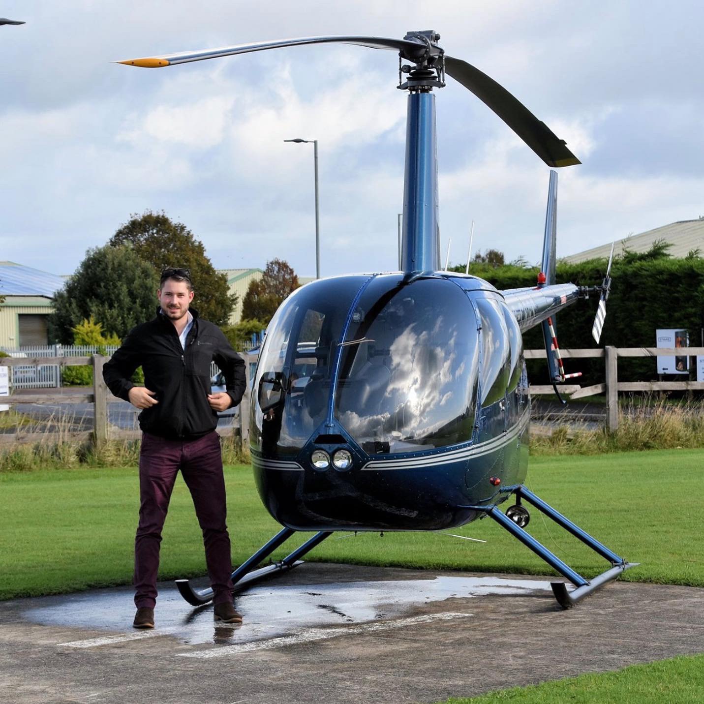
Golf Sierra was all fuelled and prepped on the Saturday evening, I arrived on the Sunday morning at Staverton, to a bright and blue sky, which was a promising start to the day. The Saturday I had attempted to fly to the Isle of Wight and only made it as far as Dursley before having to turn back due to the cloud base dropping. The flight from Gloucester to Weston-super-Mare is a short one in the R44, no more than 35 minutes at 100kias, however it can be quite technical, and there are different ways to approach the routing.
On departing Gloucester to the South, its quite easy to pick up the M5 and start to track it towards Bristol, but before long there is airspace to avoid. The seasonal SFC-4000ft area of Slimbridge Wetlands and Wildfowl centre is the first (https://www.wwt.org.uk/wetland-centres/slimbridge/), which covers a part of the Severn Estuary, I try and avoid all year, nobody wants to chop up a stray flamingo. Straying too far to the East isn’t such a good idea here either, with the intensity of gliding from Nympsfield and Aston Down, however its easy to pick a route through.
Immediately after there are two consecutive Restricted areas, EGR155 and EGR154 which cover SFC-2000ft and give a protective zone to the Berkeley and Old Down power stations which sit on the shore of the Severn Estuary as well. Tracking the Motorway here is the easiest option, if not keeping it out to the East as you skirt the edge of Thornbury. By this time, the Gloucester ATC would have expected you to have reported passing Cam or Dursley, where you’d switch across to Bristol. I choose to listen in to Bristol ATIS 126.030 first for their Aerodrome QNH. This is important for the next leg of the journey. With the Bristol QNH set, frequency change to 125.650 for Bristol Radar and input the 5077 listening squawk.
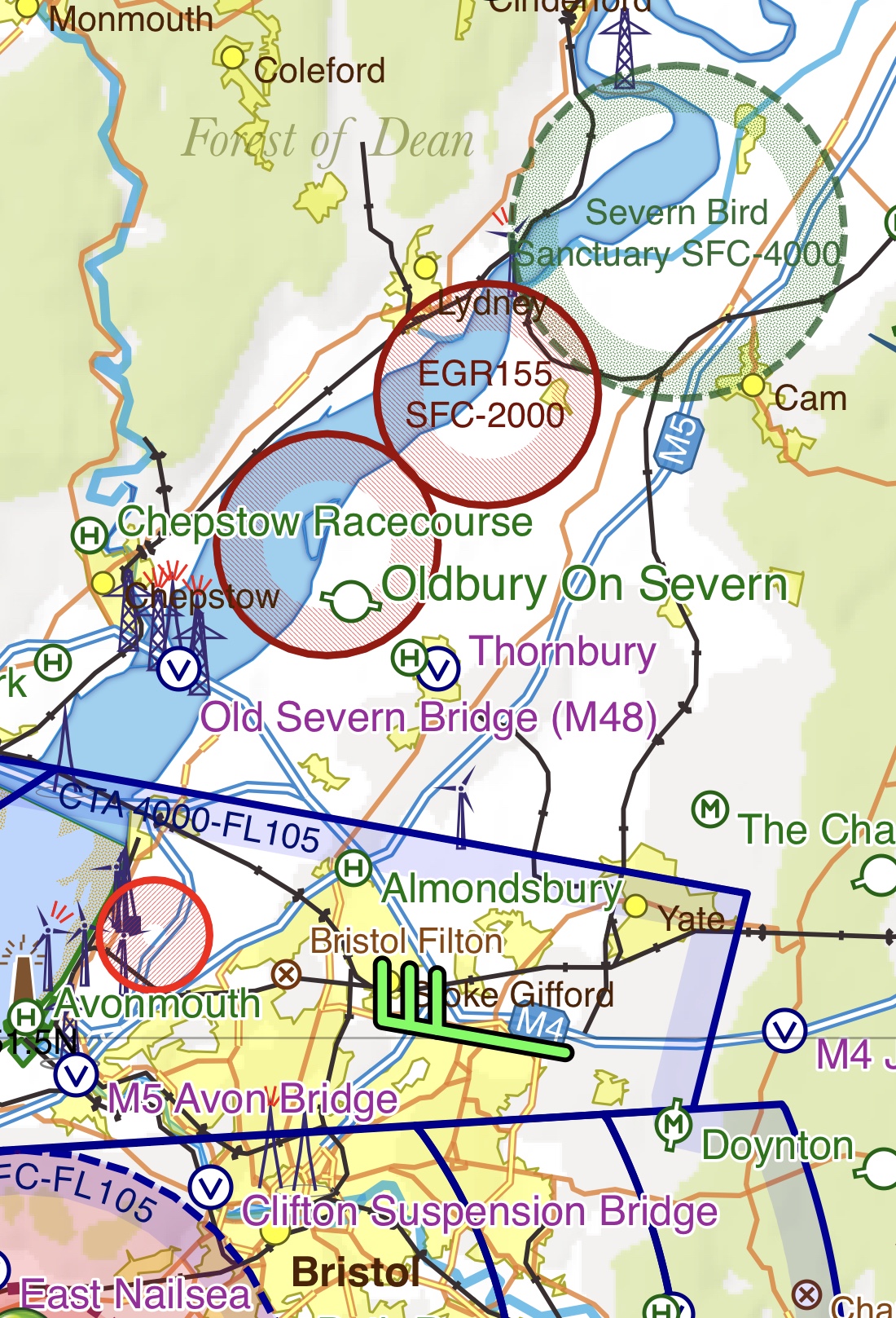
Approaching the Almondsbury Interchange, you are heading towards Bristol Controlled Airspace, which starts at 4000′. However, if you are cruising at 1500/2000′ on the Bristol QNH (Which you have already set!) you can continue without much policing of your height, it is unlikely you will gain 2000′. As you continue to track the M5, flying defensively becomes more technical, a gas venting site over the docks covers an area from SFC-3500 and Henbury is to the West, if you remain over the M5 at this point you will be inside the GVS, so displace to the West.
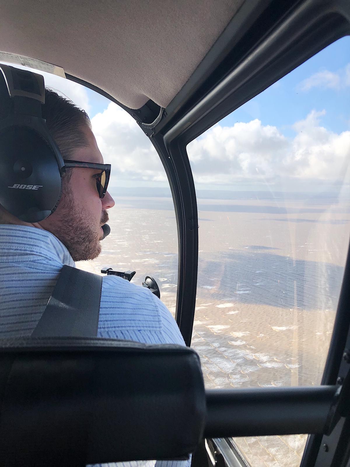
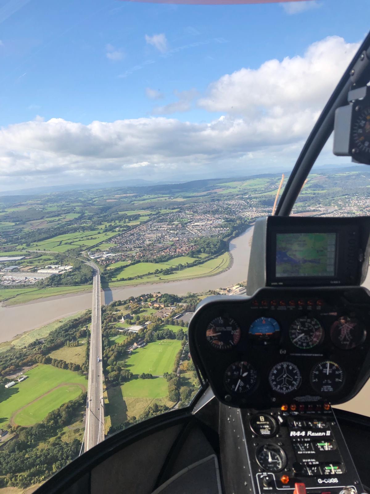
Once clear of the GVS, you can bee line for the Avonmouth bridge with the Avonmouth Docks to your right. There is crescent of grass to SW of the bridge which is a good defensive point to aim for if the endinge fails, it also keeps you on a track clear of the Bristol CTR. As you pass Portishead marina, the Bristol CTA drops to 1500′, I opt to be at 1200′ at this sector. giving a good margin for error. Between Portishead and Clevedon, I track the open farmland, with the M5 ‘Split Level’ to my left and the Portishead ridge to the right. Where the M5 cuts through the hillside at your left 11 O’clock position skirts the edge of the CTR, which is SFC-FL105. Its a safe route through towards Weston-super-Mare, and flying defensively keeps you clear of the radio antennae nearer the outskirts of Clevedon.
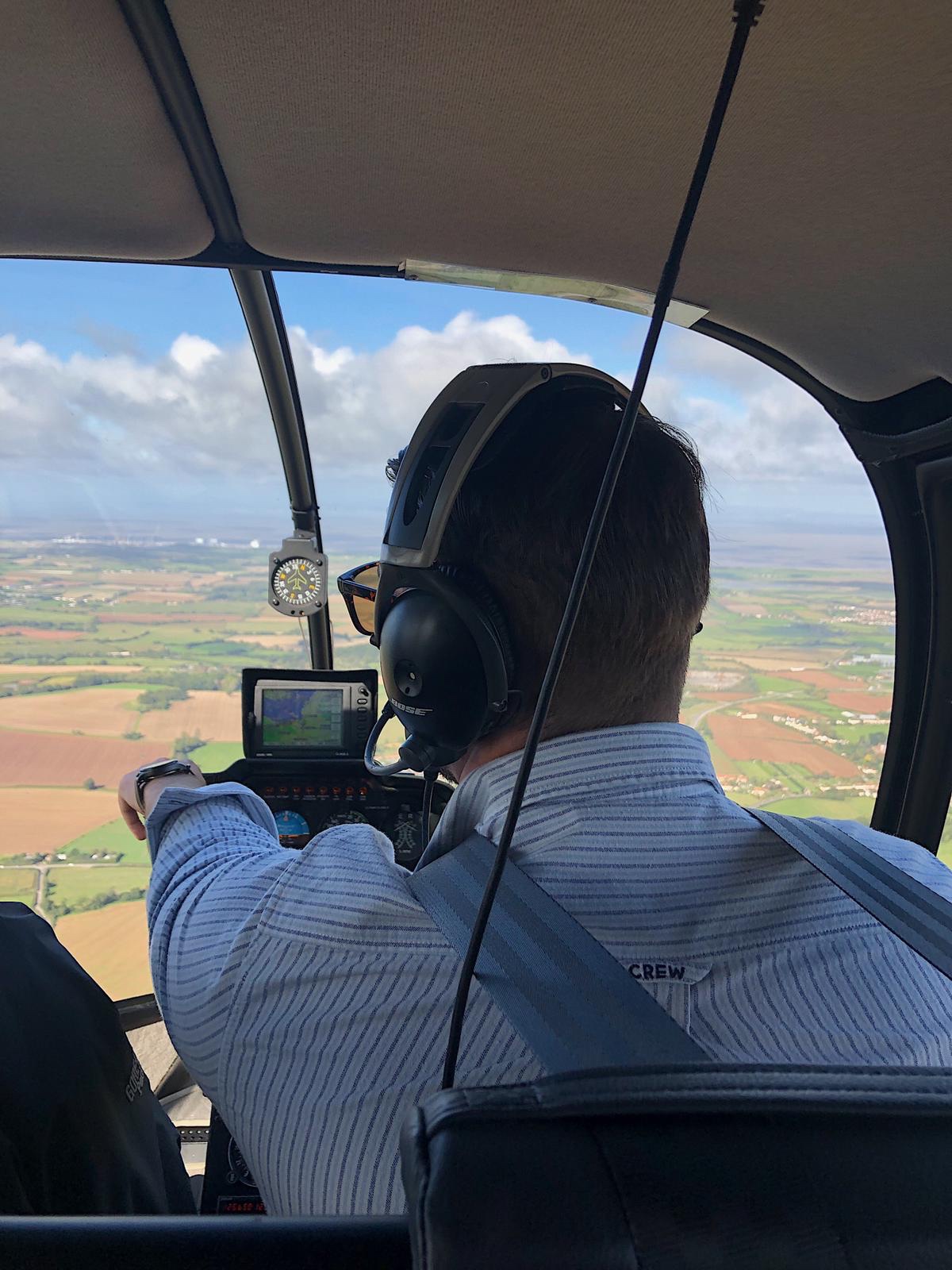
The remainder of the route, is tracking the M5 and picking up the Heli Museum out to the right 2 O’clock position, Waiting until it is at the 3 O’clock position and taking a run in across the open fields with the dual-carriageway on the right hand side of the aircraft. I opted for a Right Hand descending circuit over the old airfield and then into the museum helipad. 0.6 Not bad.
After being greeted by Steve and his Wife Liz who I have known since first stepping foot in the Helicopter Museum at the age of 12, we went in for a cup of coffee before heading off for lunch. I explained I would track the coast of Brean and Burnham and down over Cannington. Picking up the Quantock ridge, skirting Taunton and the West Somerset Railway, before heading into Dunkeswell for a spot of lunch. They were very happy, and it was a privilege to be able to take them out for the day, after all the support and encouragement over the past 17 years.
Lunch was excellent, a Sunday Carvery and a brilliant cup of tea. The sky was still bright blue but the wind had picked up, not enough to cause any problems. In fact it just mad the departure a little more fun. I had checked I could truncate the circuit pattern on departure to turn straight out and the team from Devon and Somerset Flight Training were happy enough.
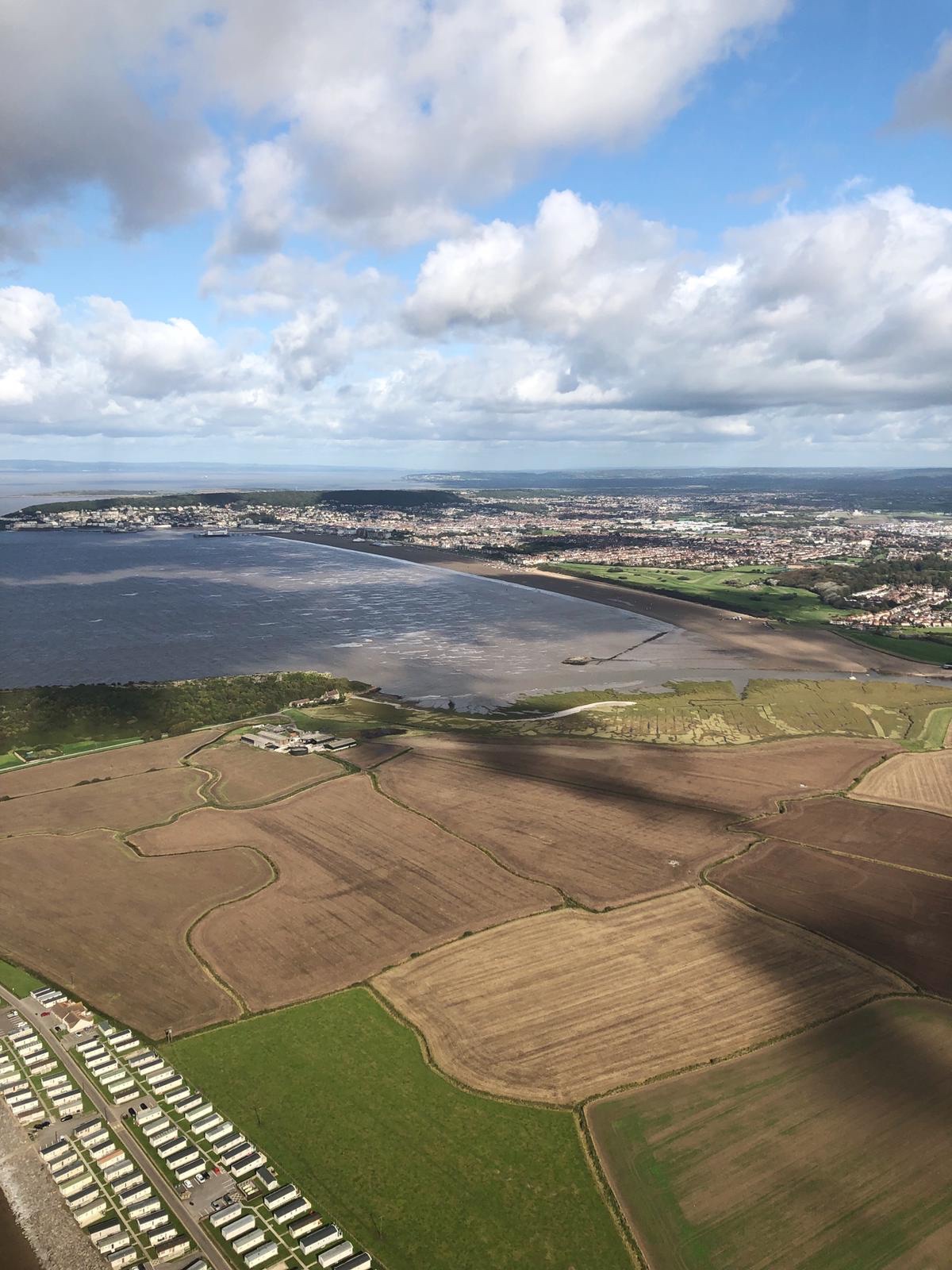
On approaching Weston-super-Mare, I took the R44 along Brean Down, a finger of land protruding out into the Estuary. The tip of the peninsula is home to an old fort which really is worth a visit, by air or by foot. A tight left hand orbit brought us back around on a heading for the Helicopter Museum where I dropped off Sully and Liz and headed back to Gloucester.
Museum
I opted to take a coastal route out of the museum, keeping Clevedon and Portishead to my right and the estuary to my left. Tracking the coastline, over the edge of Avonmouth docks, and towards the northern of the two Severn bridges. Using the bridge as a crossing point into Wales, it was a North turn to track in to Gloucester from the South.
